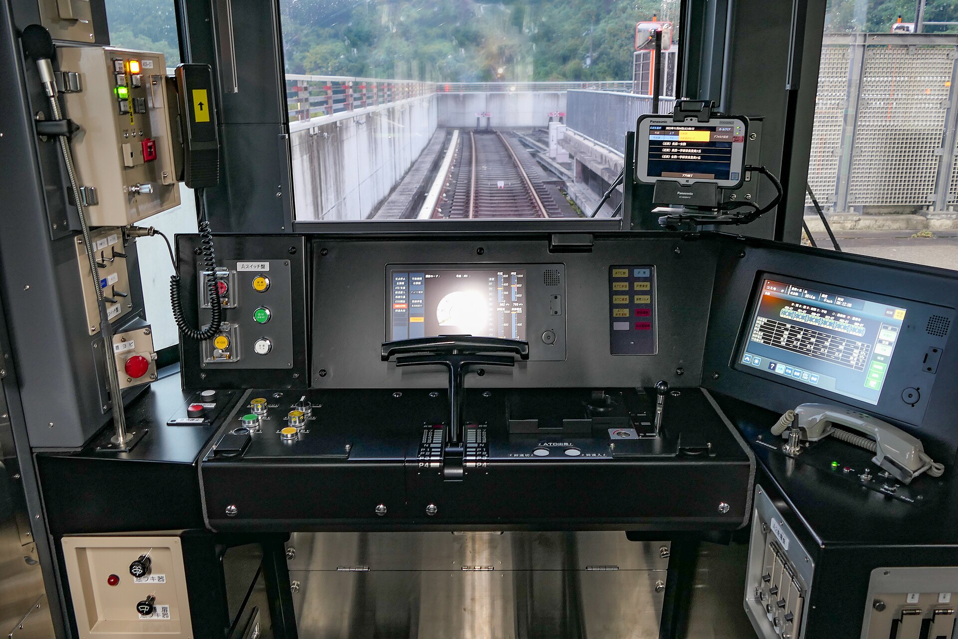
Osaka Metro is a nine-line subway network run by Osaka Metro Co., Ltd., paid for by distance on a rechargeable IC card. A visitor rarely needs more than two of those nine lines. The Midosuji Line covers Umeda, Namba, Shinsaibashi and Tennoji in a single north-south run; the Chuo Line covers Osaka Castle and the transfer point for Universal Studios Japan. Almost everything else on the map can be ignored.
What Osaka Metro actually is
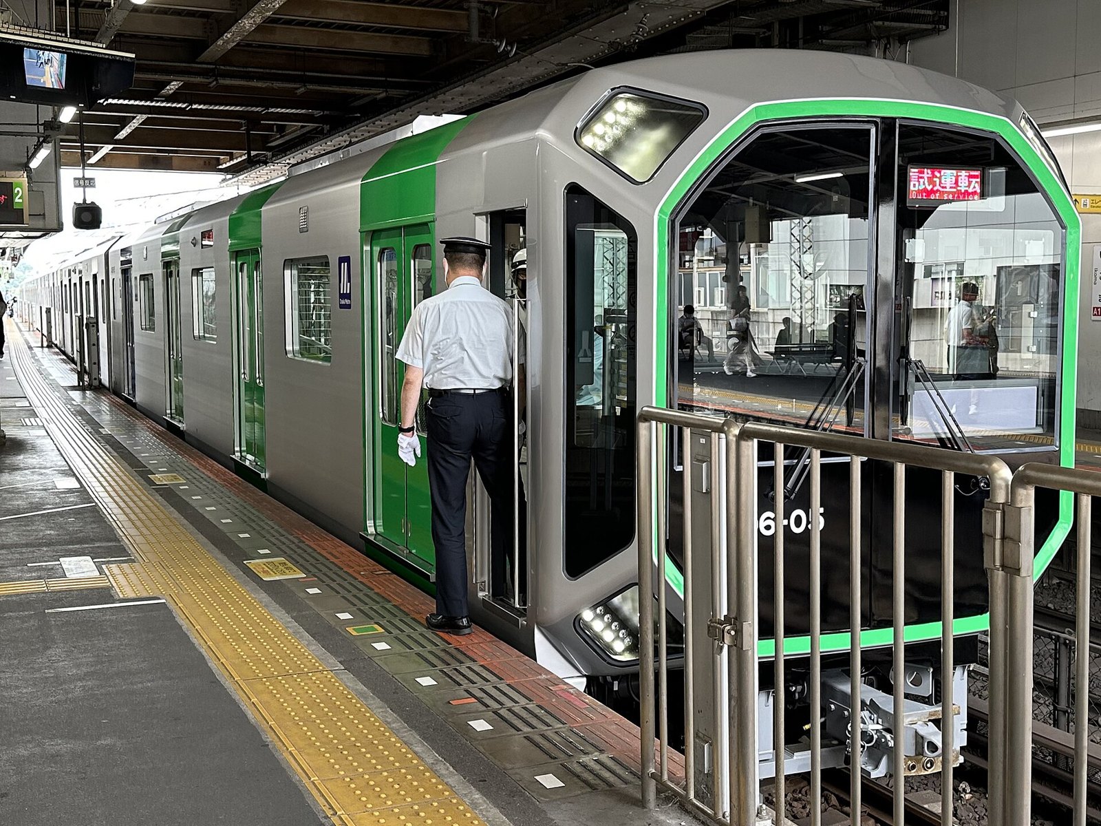
Osaka Metro was a city-run subway until 2018, when it was spun off into a private company, Osaka Metro Co., Ltd., still wholly owned by Osaka City. It operates eight subway lines plus one automated line, the New Tram (Nanko Port Town Line), which is why the operator counts nine lines in total. Fares are calculated by distance travelled, in bands, not by a flat rate. The operator’s own English-language site sets out the current fare table and should be the reference point for any actual figure, since bands and amounts are reviewed periodically — see Osaka Metro’s official English site.
An IC card — ICOCA, or any of the other nationally compatible cards — covers every line automatically and removes the need to read a fare chart before each trip. How that card works, and where its limits sit, is covered separately: how an ICOCA card works in Osaka.
The decision rule: two lines, maybe three
Memorising nine colour-coded lines is not necessary. Almost all first-time visitor stops cluster on two lines. A third matters only for one specific accommodation choice.
| Line | Colour | Covers for a visitor | When it matters |
|---|---|---|---|
| Midosuji | Red | Umeda, Shinsaibashi, Namba, Tennoji | Nearly always. This is the spine of the city. |
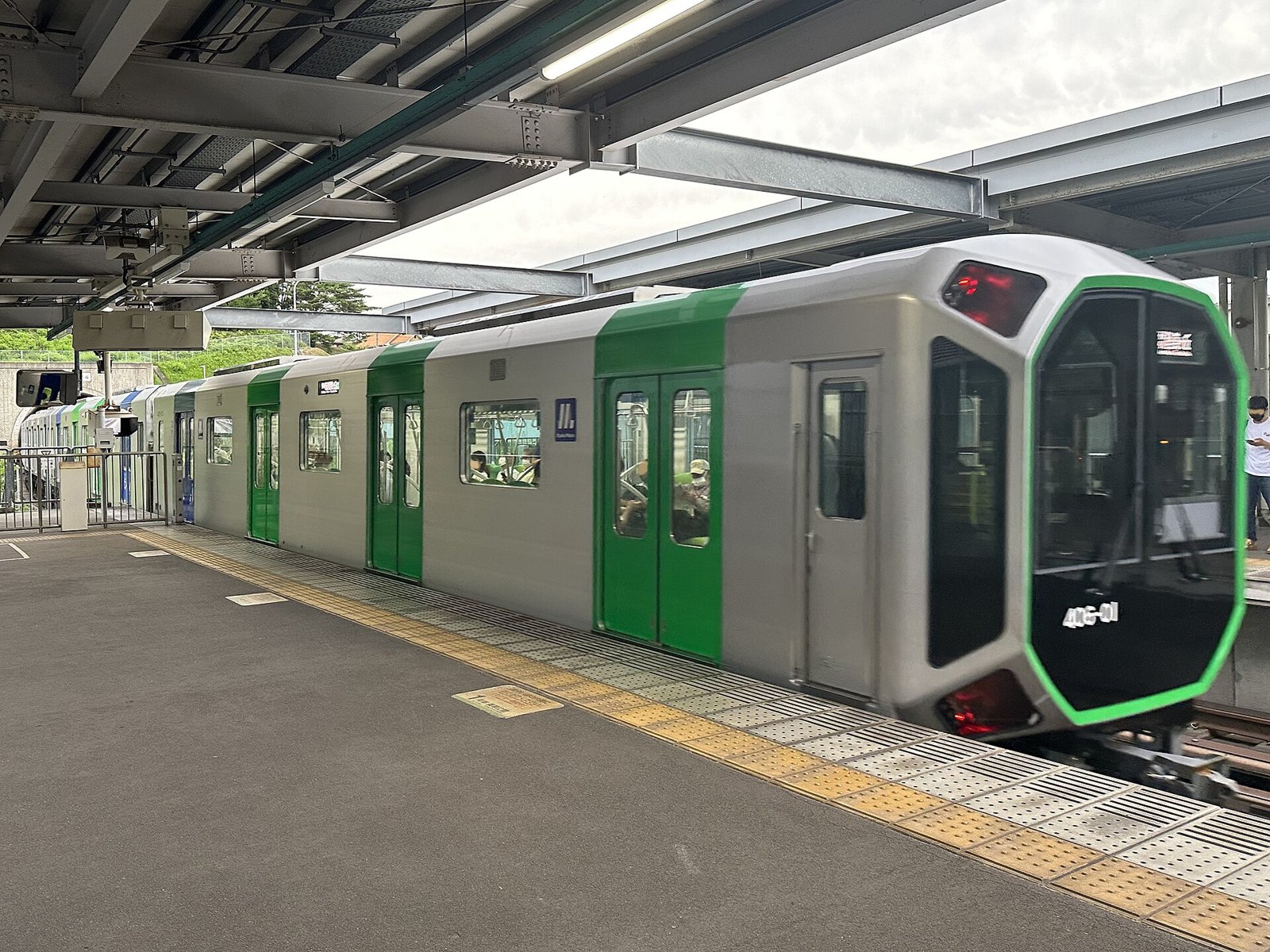
| Chuo | Green | Osaka Castle area (Morinomiya, Tanimachi 4-chome), Bentencho for the JR transfer toward Universal Studios Japan | If visiting the castle, or connecting onward to USJ |
| Sakaisuji | Brown | Nipponbashi (Den Den Town, close to Kuromon Ichiba) | Only if staying in that specific pocket of Minami |
Midosuji opened in 1933 as Japan’s first publicly built subway line, running then between Umeda and Shinsaibashi. It now stretches roughly 24 kilometres end to end across about 20 stations, linking the two city centres directly. That single fact explains why it dominates a visitor’s itinerary: Umeda sits at one end, Tennoji near the other, and Namba and Shinsaibashi sit in between. Everything most guidebooks call “central Osaka” is strung along this one line.
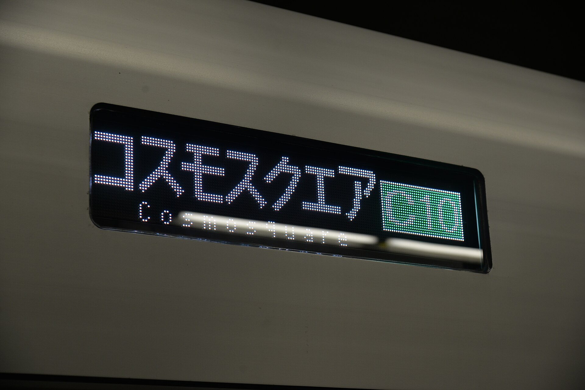
The Chuo Line earns its place for two separate reasons, not one. It passes close to Osaka Castle Park, with Morinomiya and Tanimachi 4-chome both a short walk from the grounds. It also reaches Bentencho, where a transfer onto the JR Osaka Loop Line and then the JR Yumesaki Line gets a visitor toward Universal Studios Japan. Two unrelated jobs, one line.
Sakaisuji is narrower in use. It runs through Nipponbashi, the district associated with Den Den Town’s electronics and hobby shops and within walking distance of Kuromon Ichiba market. A visitor based elsewhere has little reason to ride it. Kyobashi, a separate major interchange east of the centre, is not on this line at all — it is reached instead by the Nagahori Tsurumi-ryokuchi subway line, by JR, or by the Keihan private railway. That distinction matters because tickets between operators do not carry over.

What the subway does not cover
Osaka Metro only operates within the city. Four private railways — Hankyu, Hanshin, Kintetsu and Nankai — run their own separate networks into and out of Osaka, each with its own ticketing, and JR West operates the Osaka Loop Line and the wider JR network as a fifth, unrelated system. An IC card works across nearly all of them, but a day pass bought from one operator generally does not. This is the single biggest point of confusion for visitors, and it is covered in full here: Osaka’s railway companies, and where the transfer traps sit.
The JR Osaka Loop Line deserves a mention on its own, since visitors often assume it is part of the subway. It is not. It is a JR West surface line that circles the centre in roughly 21.7 kilometres across 19 stations, connecting to Osaka Station, Tennoji, and Bentencho. Its map colour, its gates, and its IC-card compatibility all overlap visually with the subway, but the fare calculation and the operator are entirely separate — confirmed on JR West’s own English site.

Where this fits into a stay
Which lines a visitor actually uses depends heavily on where they are staying, since Osaka splits into two distinct centres. Kita (Umeda) is business and transport; Minami (Namba, Dotonbori, Shinsaibashi) is eating and going out, and the two sit roughly 25 minutes apart by Midosuji. That split, and what it means for choosing a base, is set out here: Kita or Minami — which side of Osaka to stay in.
A visitor arriving from Kansai Airport reaches the city on Nankai or JR, neither of which is Osaka Metro — that connection is covered separately at Kansai Airport to Osaka: routes and fares. Day trips toward Kyoto raise the same operator question again, addressed at Osaka to Kyoto: which operator to use. Anyone weighing a multi-day transport pass against paying as they go should read whether the Osaka Amazing Pass is worth it over two or three days before buying one, since its value depends entirely on how many paid sights are planned, not on transport alone.
More on how the wider transport network fits together, including the private railways in full, sits in the Getting Around archive. General trip-planning questions — public holidays, Monday closures, cash versus card — are gathered in Planning & Practicalities.
Access Osaka is an independent research site; see how this site is written and checked and what is collected when you read it.

Access Osaka is an independent guide written from published, checkable sources. We have not visited the places described here and we do not publish personal recommendations or invented ‘local favorites’ — where something is singled out as notable, we say who says so. Opening times, fares, closures and prices change at short notice, so treat everything here as a starting point and confirm with the museum, operator or venue directly before building a day around it. We give no advice on visas, insurance, health or safety; use your own government’s official guidance for those.